BOISE, Idaho — From perfect powder to slippery streets, winter weather plays a big role in how Idahoans go about their lives during the months of December, January, and February. And with the first snowfall of the season now under Idaho's belt and meteorological winter underway as of December 1st, many residents may be wondering - will this winter be wet and wild, or dry and mild? And either way, how can we tell?
While it's nearly impossible to pinpoint exactly what the next three months will bring our way, we do have a general idea of how this winter could play out across the Northwest.
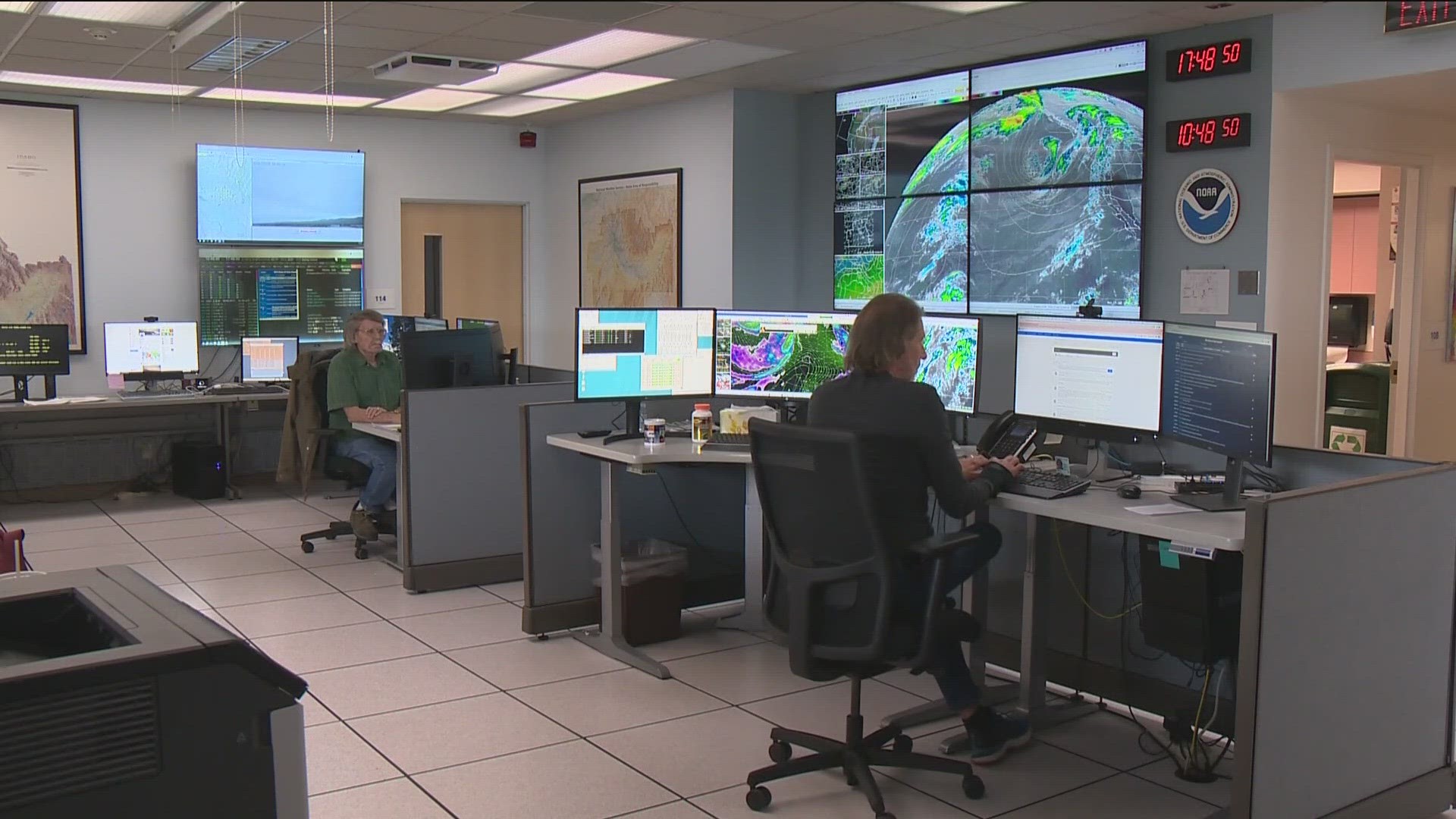
Jay Breidenbach, a meteorologist with the National Weather Service in Boise, said we are moving away from the cooler and wetter winters that we have experienced for the past few years under a La Niña pattern. Instead, we are trending towards an El Niño pattern.
"That actually favors warmer and drier than normal conditions across the entire Pacific NW, including Idaho and the Boise area," said Breidenbach.
But how do we know we're heading into milder, drier El Niño?
It all starts way out in the middle of the Pacific Ocean with a recurring climate pattern called the "El Niño Southern Oscillation," or ENSO - one of the most important climate patterns on earth due to its ability to influence temperature and precipitation across the globe.
The ENSO pattern is always in one of three states: El Niño, the warm phase; La Niña, the cool phase; or neutral.
In a normal or neutral ENSO pattern, sea surface temperatures in the Central Pacific are close to average, and ever-present trade winds - which blow east to west - push warm surface water westward toward the coast of Africa.
A La Niña occurs when sea-surface temperatures cool, and stronger than usual trade winds send an abundance of warm water to the west, allowing cooler water to surface in the Eastern Pacific.
La Niña tends to create colder, wetter conditions for the northern tier of the country (think, more snow, a la Snowmageddon of 2016-2017), but brings drier and milder weather to the south.
The setup for El Niño - and its subsequent impacts - are just the opposite.
In El Niño, warmer-than-normal ocean surface temperatures combine with weakening or even reversing trade winds, and that allows warm water to migrate into the Eastern Pacific.
Ultimately, that build-up of warmer water causes the polar jet stream to hang out much further north than usual. This keeps frigid Arctic air at bay and leads to, generally, milder and drier than average winter weather for us in the Intermountain West.
This year's El Niño is considered "strong" due to those sea-surface temperatures being substantially above normal. And it's expected to stay strong through the 2023-2024 winter season.
For all snow lovers - don't worry - Idaho will still get plenty of cold, wet winter weather! However, it isn't expected to be as cool or wet as the past several years under La Niña.
"I think it's about a 74 percent chance of fitting into that normal to above normal category, but that still leaves some room for a cold, wet pattern," Breidenbach said.
Weather is an odds game, so there's still a chance, even with this strong El Niño setup, that colder, wetter weather could be on the horizon. "They don't all work out that way, we have had - if you look at the '82-'83 El Niño - it was colder and snowier here, so it's kind of the odds that we're playing," Breidenbach said.
Still, with climate scientists giving this El Niño pattern a 70-plus-percent chance of coming to fruition, most weather experts would put their money on a generally milder, drier winter for the Northwest this year.
"As a skier, I'm gonna always place my bet on cold and wet, you know, cuz I want the snow as a skier, but that probably wouldn't be a good bet [this year]," Breidenbach said.
On average, Boise sees about 20" of snow during a typical winter season. Last year, which was a La Niña year, the City of Trees recorded 32" of snow.
Watch more Local News:
See the latest news from around the Treasure Valley and the Gem State in our YouTube playlist:
HERE ARE MORE WAYS TO GET NEWS FROM KTVB:
Download the KTVB News Mobile App
Apple iOS: Click here to download
Google Play: Click here to download
Watch news reports for FREE on YouTube: KTVB YouTube channel
Stream Live for FREE on ROKU: Add the channel from the ROKU store or by searching 'KTVB'.
Stream Live for FREE on FIRE TV: Search ‘KTVB’ and click ‘Get’ to download.

